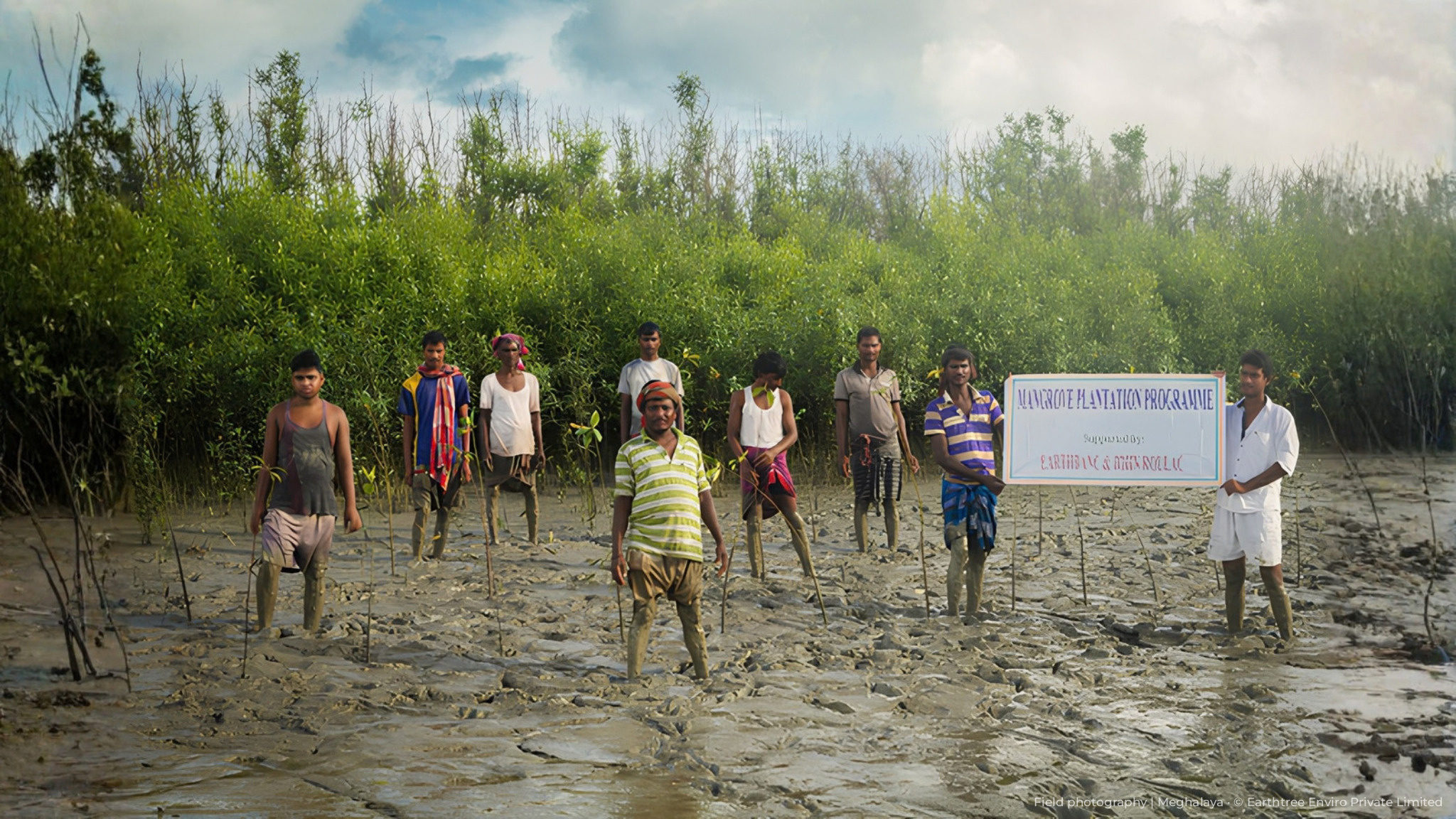
Silviculture & Forestry
Our team members bring 10-35 years of individual experience in the sector spanning forestry with deep expertise in advanced geospatial technology and digital MRV (dMRV) to deliver actionable forest intelligence and tailored, cost effective solutions. Our multidisciplinary team of foresters, project managers, technicians, resource analysts, drone pilots, statisticians and GIS specialists work in tandem to translate strategic vision into practical execurtable operations and deliver measurable impact.

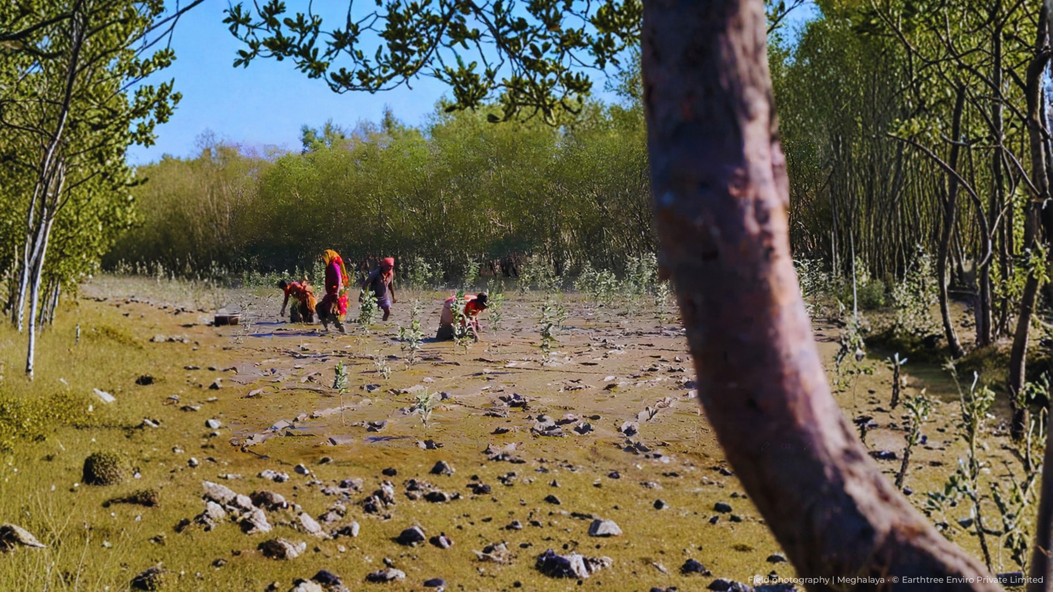
Nature, Climate and Carbon Solutions
Our Nature, Climate and Carbon Solutions team combines scientific rigour, advanced analytics and digital MRV to measure emissions, develop high-integrity nature-based projects and navigate evolving carbon markets. We help clients translate climate ambition and environmental stewardship into measurable, verifiable outcomes guiding projects end-to-end, from carbon footprint assessment, and project designing to monitoring, verification and registry certification under different standards including Verra, Gold Standard, Puro.earth and Isometric.

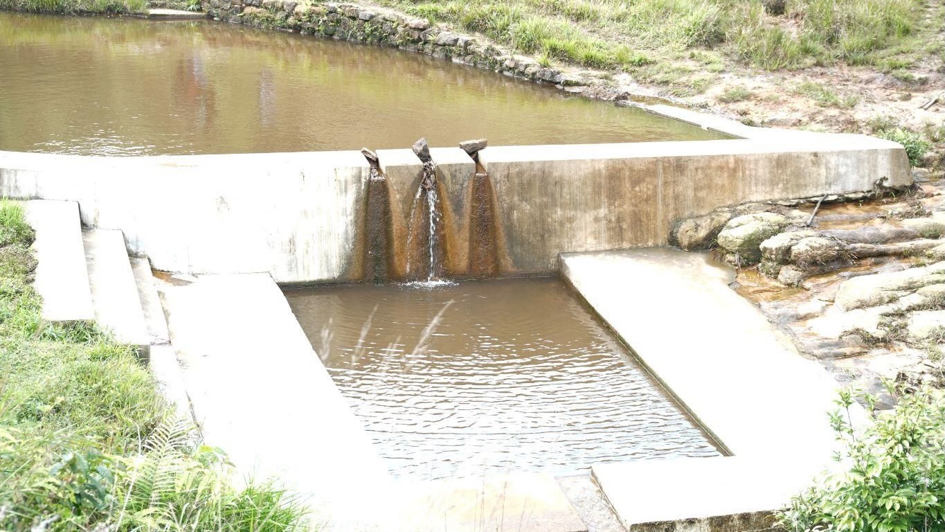
Agriculture & Soil Management
Our Agriculture & Soil team combines agronomic and soil science expertise with geospatial technology and dMRV to assess soil health, model nutrient and carbon dynamics, and guide sustainable land management. Agronomists, soil scientists, GIS specialists and sustainability advisors deliver data-driven reports that align stakeholders from planning through implementation — building healthier soil and more resilient, productive operations.

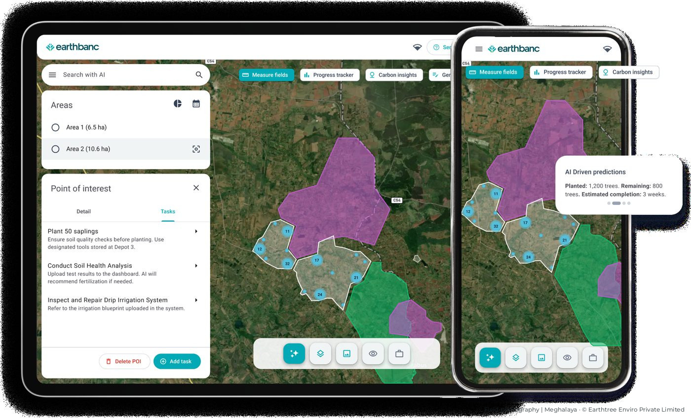
Remote Sensing & dMRV
Our Remote Sensing & dMRV team combines advanced geospatial intelligence, digital recording and reporting, and deep sector expertise to deliver programmes shaped around each client’s operational and regulatory realities. We deliver technically robust, defensible data that withstands audit — from multi-thousand-hectare inventories to targeted cut-block updates, fire assessments and reforestation analysis, on time and at scale.